Haneul Park and Noeul Park: Silver Grass, River Views, and Sunset
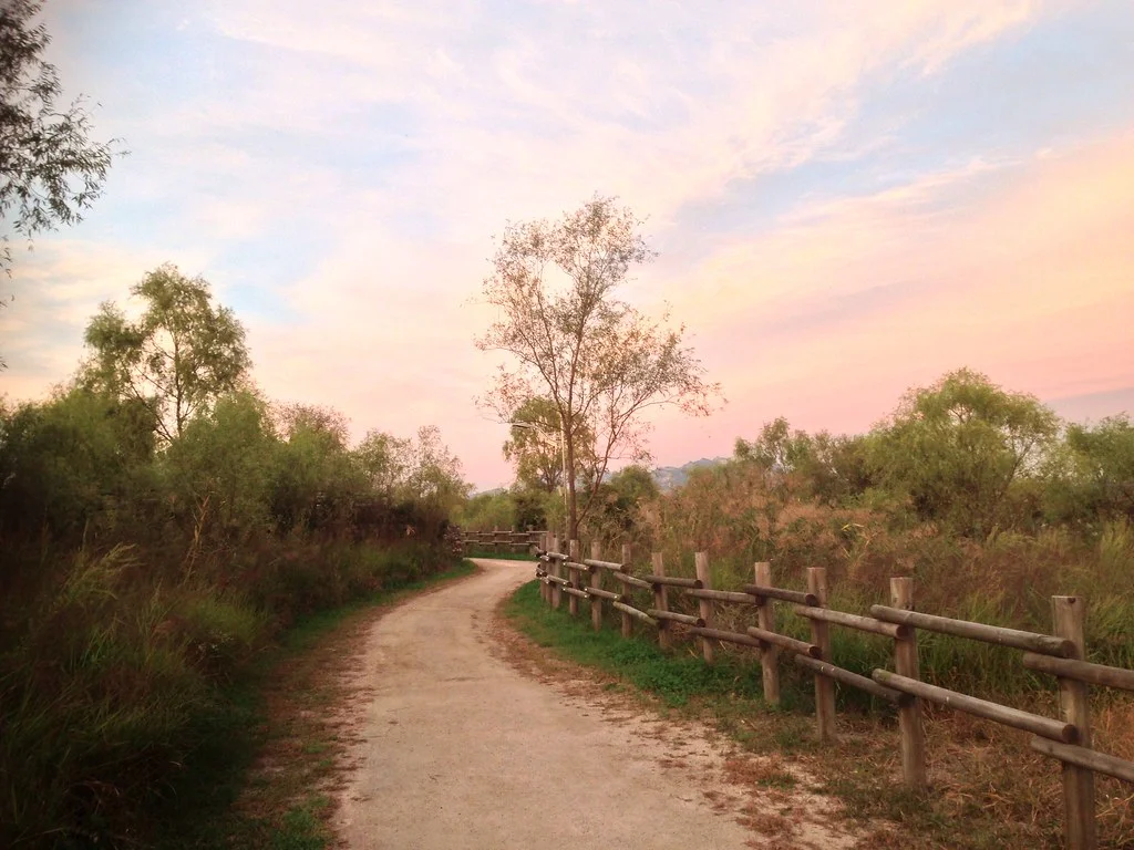
For a Seoul afternoon with more sky than skyline, head to the high parklands above the north bank of the Hangang. Haneul Park offers paths through broad grass fields and views over the river. Noeul Park has lawns, wooded edges, and places to linger as the light changes. Their names, “sky” and “sunset,” are useful clues to what each does well. Choose Haneul if autumn silver grass is your main attraction. Choose Noeul if you want a walk built around the late-afternoon landscape. Both belong to World Cup Park, but they occupy separate raised areas. They are not two adjoining sections of a flat garden, so visiting both requires a transfer plan and more walking than a small map might suggest. Their elevation has an unusual origin. This was the Nanjido landfill, where Seoul deposited waste from 1978 to 1993. After stabilization and restoration, the area became parkland associated with the 2002 World Cup. The lawns and planted slopes are part of an environmental recovery story, not simply untouched countryside preserved inside the city.
Getting up to the park is part of the outing
World Cup Stadium Station on Line 6 is a useful starting point for Haneul Park. From the station area, you still need to walk to the approach and then climb to the upper park. Decide before setting off whether you want the stairs, the designated uphill walking route, or the Maengkkongi electric shuttle. Those choices lead to different boarding points or entrances. The shuttle reduces the climb, but you will still walk between the upper paths and viewpoints. Its routes connect Nanjicheon Park with Haneul or Noeul, and another serves Noeul from its parking area. For the Haneul route from Nanjicheon, the official guide listed a general fare of ₩2,000 one way or ₩3,000 round trip when checked on October 12, 2026. Do not assume a return ticket covers a descent from the other park; explain your intended finish before buying. If stairs are difficult, check the boarding arrangements and the walking route you will use at the top. A shuttle ride is not a promise that every viewing deck is step-free. With a stroller, the operator's folded-size conditions matter as well. For a first visit to one park, leave a couple of hours for the approach, a relaxed upper-level walk, and the descent rather than treating it as a quick stop outside the subway.
Haneul's grass fields are the main event
U2em · Original · CC BY-SA 3.0 ·
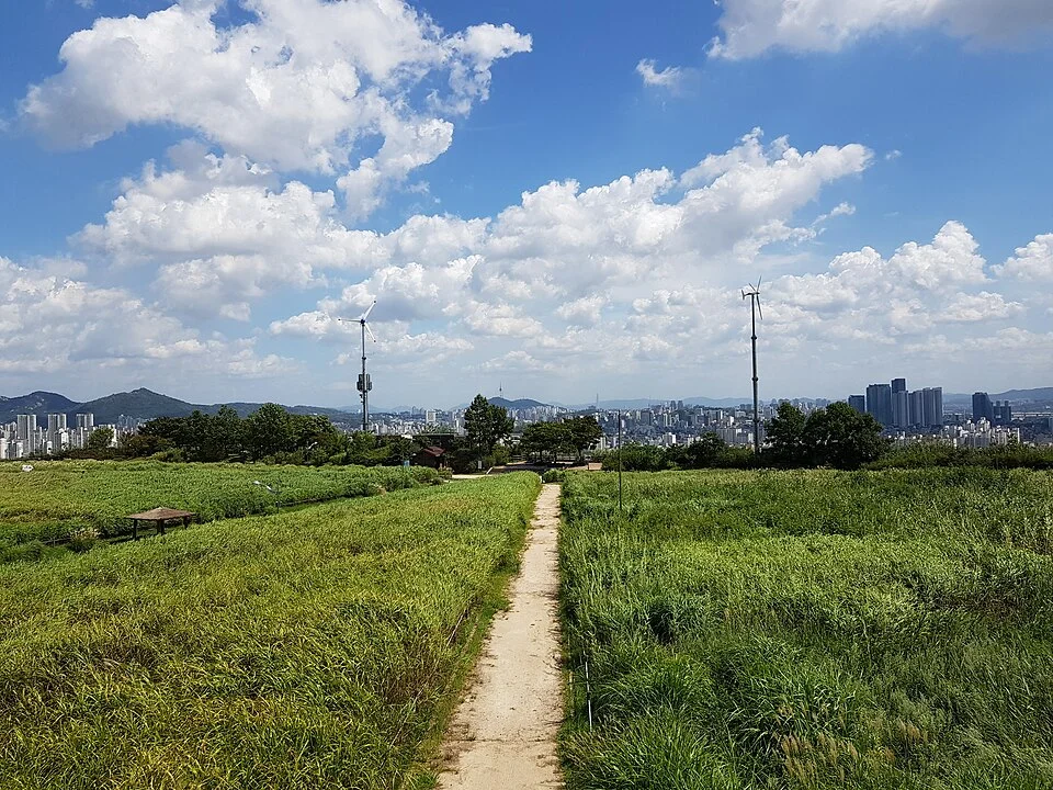
At the top, the landscape spreads out instead of continuing toward a sharp summit. Paths run between planting areas, and low vegetation leaves room for clouds, distant ridges, and the city beyond. In autumn, silver-grass plumes catch the light and move with the wind. In greener months, the appeal is the contrast between the open field and the buildings around its edges. The annual Silver Grass Festival is associated with October, but flowering, event dates, and special operating hours are separate things. If the festival itself matters, check the year's announcement; if you mainly want the grassland, plan around the condition of the plants and the weather. An old festival photograph does not establish what will be in bloom on your particular day. Alternate a path through the interior with a stretch along the edge. That gives you two different experiences without trying to walk every lane: first the vegetation close around you, then the wider setting beyond it. Stay on the paths when photographing the grass. A low foreground and a distant skyline can fit into the same composition without stepping into the planting.
An optional lift in perspective
U2em · Original · CC BY-SA 3.0 ·
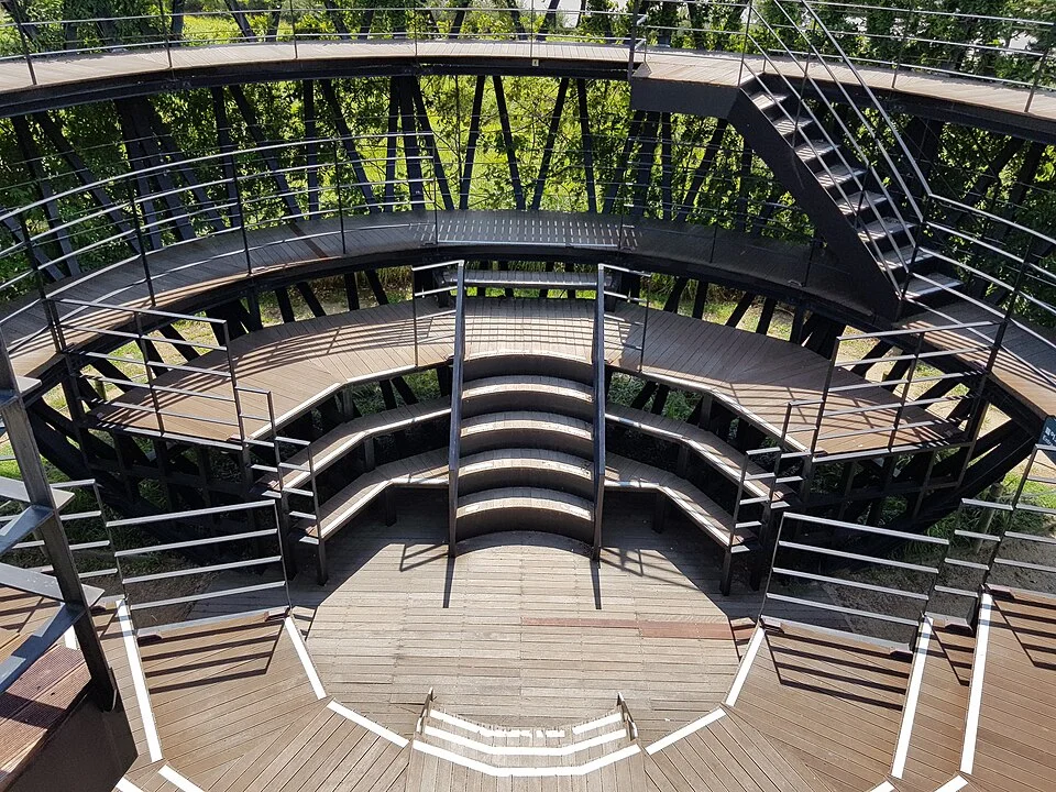
The circular viewing structure gives another way to see the park's layout. Its tiers, stairs, and railings are interesting to look at from within as well as from the upper level. Take the climb if you enjoy an elevated view, but do not feel that this one structure is the entire reason to come. For anyone avoiding more stairs after the ascent, the ground-level paths and edge viewpoints remain worthwhile. You can also split the visit: one person explores the deck while another waits at an agreed point below. If maintenance closes the structure, continue with the grassland and river-facing paths rather than abandoning the outing. Haneul's open character also means that shade is uneven. On a hot day, a shorter route with pauses will be more enjoyable than a full circuit at noon. Bring water and sun protection before going up. In cool weather, a light outer layer is useful because stopping for a view can feel much colder than walking uphill.
Look across the Hangang, not just down at the path
U2em · Original · CC BY-SA 3.0 ·
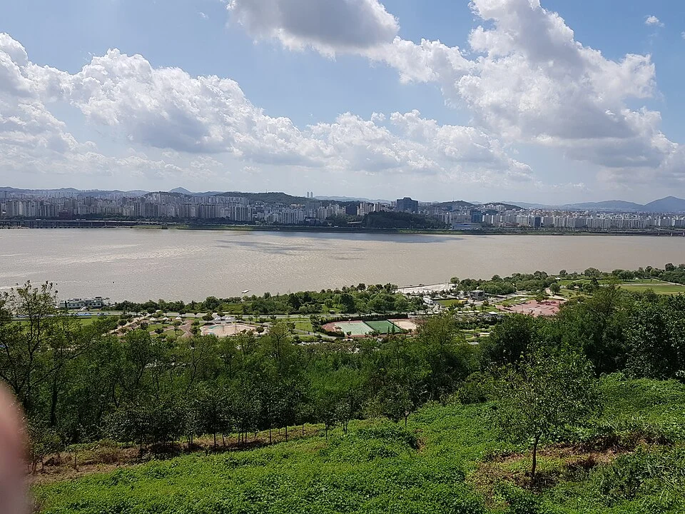
The river-facing side explains why it is worth coming up rather than staying at the water's edge. Green slopes and riverside recreation areas occupy the foreground, the Hangang cuts across the middle, and neighborhoods stretch along the opposite bank. You can read the city's shape in broad layers without needing to identify every bridge or apartment complex. This is a different outing from Nanji Hangang Park below. At river level, the focus is on waterfront paths and activities; up here, the river becomes part of a much larger view. If you are choosing between them, pick the upper park for elevation and grassland, and the riverfront for a waterside stroll. Combining both adds another descent and an onward route to plan. Clear air helps with distant views, but a hazy day need not make the whole visit pointless. Concentrate on the nearer fields, trees, and riverbank instead of searching for landmarks on the horizon. If visibility is especially poor and the panorama is your only reason for traveling, choose a different day rather than expecting height to solve it.
Noeul Park: arrive before the sunset you came to see
HoangTuanSu · Original · CC BY-SA 2.0 ·
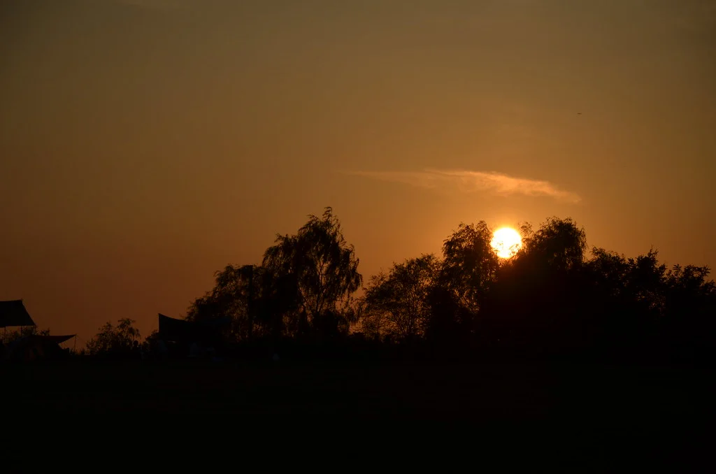
Noeul works best when sunset is the final part of a visit, not your arrival time at the bottom of the hill. Come while it is still light, explore the lawns and paths, and find the view you want before the sky begins to change. A river-facing outlook and a scene of trees silhouetted against the sky offer different kinds of photographs. The sunset itself depends on cloud, haze, and the season. On a cloudy evening, the changing light across the lawn may be more rewarding than waiting for a bright red sun. Give yourself time to sit as well as walk; racing between viewpoints can use up the part of the evening you wanted to enjoy. Noeul also contains a campground and other separately managed facilities. A general park visit does not include a campsite or permission to stay overnight. If camping is your goal, make it a separate booking plan. For a walking visit, the more immediate question is how and when you will get back down.
Linking the parks and planning the return
A day that includes both can start with Haneul's grassland and river views, then move to Noeul for the evening. Use the current park map to distinguish paths around the hills from routes to their upper areas. The metasequoia walks provide a tree-lined alternative to the exposed grassland; Seoul expanded this network on the Noeul side in 2026. A forest-path connection does not remove the elevation change between your chosen viewpoints. Night access is controlled for ecological protection. As checked October 12, 2026, the official park guide lists opening at 6 a.m., with closing at 9 p.m. October–March and 10 p.m. April–September. Shuttle services have separate seasonal timetables and can finish earlier. Confirm the last downhill service before lingering for evening photographs, using the current park information and the boarding-point notice. If you have already walked farther than expected at Haneul, keep Noeul for another day. Descending to a lower park and heading back for dinner is an easy alternative to adding another climb. The strongest version of this outing is the one that gives you time with the landscape you came for, whether that is a field of silver grass or the last light over the river.